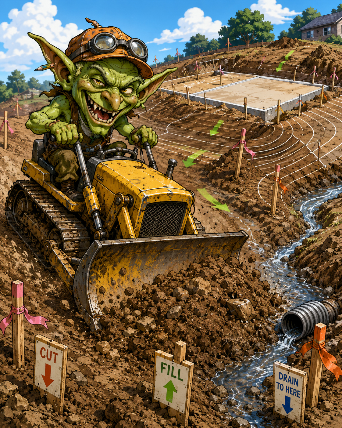
Grading risk map
What the goblin touches.
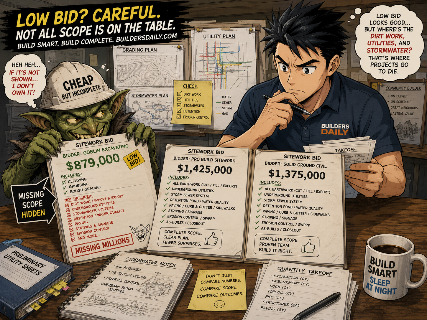
Dirt is not just dirt. It is the geometry the whole community sits on.
Risk
Topo
Survey accuracy, existing conditions, benchmarks, slopes, and field verification.
Risk
Cut/fill
Earthwork balance, import/export, hauling, compaction, stockpiles, and phasing.
Risk
Pads
Elevations, setbacks, drainage, foundations, driveways, accessibility, and adjacent lots.
Risk
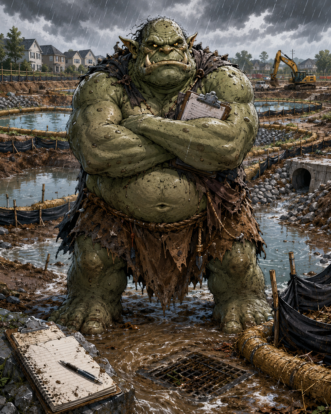
Drainage
Swales, storm drains, basins, runoff, lot-to-lot flow, and erosion control.
Risk
Streets
Profiles, curbs, gutters, crossings, utilities, compaction, and paving sequence.
Risk
Landscape
Common areas, slopes, irrigation, trees, entry features, and HOA expectations.